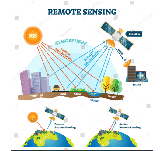
Remote Sensing
Course Curriculum
| Download satellite images - تحميل الصور الفضائية | |||
| وطريقة تحميل الصور الفضائية Earth explorer التسجيل فى موقع | 00:30:00 | ||
| Getting high resolution images تحميل صور فضائية عالية الدقة مباشرة بدون برامج وسيطة | 00:15:00 | ||
| معامل تجميع الصور الفضائية OIF | 00:22:00 | ||
| Image correction and enhancement | |||
| تصحيح مؤثرات الغلاف الجوى فى الصور الفضائية atmospheric correction | 00:27:00 | ||
| المرشحات المكانية Spatial filters | 00:05:00 | ||
| Replacebadlines معالجة خطوط المسح التالفة فى صور الاقمار الصناعية | 00:09:00 | ||
| image destripping ازالة العيوب الناتجة عن الحزم الخطية من صور الاقمار الصناعية | 00:05:00 | ||
| Radiometric enhancement التحسين الراديومترى لصور الاقمار الصناعية | 00:59:00 | ||
| العمليات الجبرية وحساب مؤشرالنبات Algebraic Processes and Vegetation Index | 00:53:00 | ||
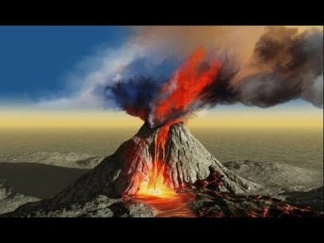
| Remote Sensing in Geo archaeology تطبيقات الاستشعار عن بعد فى الدراسات الجيواركيولوجية | 00:08:00 | ||
| Classification | |||
| Unsupervised classification التصنيف غير المحكم | 00:07:00 | ||
| unsupervised classification التصنيف غير المحكم | 00:54:00 | ||
| supervised classification التصنيف المحكم | 00:13:00 | ||
| Supervised classification التصنيف المحكم | 00:54:00 | ||
| Post classification analysisتحليلات ما بعد التصنيف | 00:49:00 | ||
Course Reviews
No Reviews found for this course.
5 STUDENTS ENROLLED